EPHA – European prehistoric and historic atlas
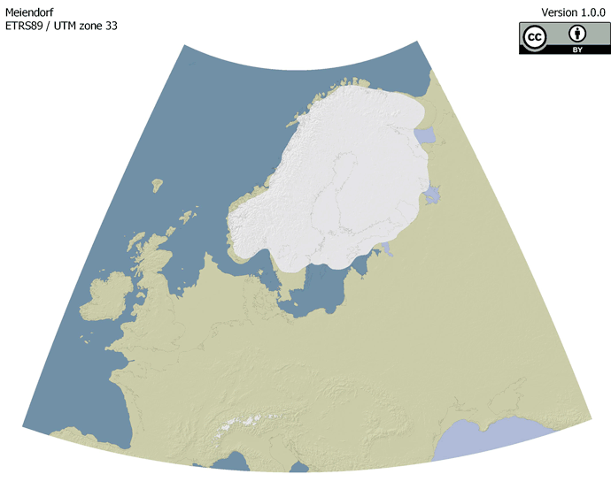
EPHA is a project of the Centre for Baltic and Scandinavian Archaeology (ZBSA) aiming to provide base maps for different prehistoric timeframes (see workgroup). While the maps are compilations from available literature and data, their main purpose is to act as overview maps. Thus incorporating and harmonizing existing data is the main purpose. The maps are prepared as vectorized and georeferenced files that are easily incorporated into Geo-Information Systems. All relevant information, like references or sources, are provided with the files so that the origin of data remains clear and citeable. Thus, easy and straightforward use is guaranteed. They are published under a Creative Commons license (CC-BY 4.0) for free use.
Each map is available in two versions:
1. vectorised shapefiles including landmasses, oceans, and ice shields
2. an overview of the source data.